
下载App
资质规则
旅行
账户
Steve W
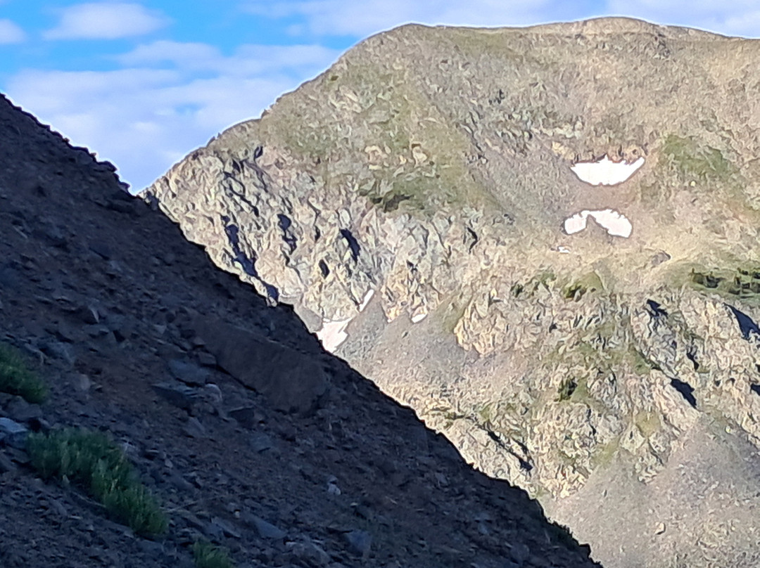
Trail fizzled out
Wheeler Peak的点评
点评:I started out on the Williams lake trail at 430AM. I made it to Williams lake by daylight, and took the trail to the left toward wheeler peak. The trail was not marked, but was easy to follow. The trail makes a sharp right turn and stays level for about 20 minutes with a high peak to the left, and the lake below to the right. I reached the edge of the forest to an opening, and the trail fizzled out. I headed up a steep 45 degree slope and gained a thousand feet in elevation to 12,400 feet. I could see the top of a ridge a few hundred feet above me, but I could not get there, even crawling on all 4rs. I kept sliding backwards every time I tried to climb. At this point the slope was more than 50 degrees or so. I got back down by sliding feet first, 10 feet or so at a time. I lost the trail in the trees heading down, but I could see the lake, so I just headed through the woods until I got to the lake. From there I was able to get back to the parking area.
翻译:凌晨4点30分,我踏上了威廉姆斯湖步道。天刚亮,我就到了威廉姆斯湖,然后沿着左侧的小路向惠勒峰走去。这条步道没有路标,但很容易走。步道急转右弯,在平坦的路面上行走了大约20分钟,左侧是一座高峰,右侧是下方的湖。我走到森林边缘的一片空地,步道就消失了。我爬上一个45度的陡坡,海拔上升了1000英尺,达到了12400英尺。我能看到几百英尺上方的山脊顶部,但我爬不上去,即使用四轮驱动车爬也爬不上去。每次试图爬上去,我都往后滑。这时,坡度已经超过50度了。我先用脚滑下去,每次滑10英尺左右。下山时,我在树林里迷路了,但能看到湖,所以我就一直穿过树林,直到到达湖边。从那里我就可以回到停车场。

© 2026 Tripadvisor 版权所有。
部分照片由 VFM Leonardo 提供。
TripAdvisor公司对外部网站的内容一概不负责。优惠价格中不含税和其他费用。
ICP证:沪B2-20200433
沪ICP备20013175号
 沪公网安备31010502005427号
鹰程信息技术(上海)有限公司