的点评
Climbing Mt Yacaaba
Mount Yacaaba的点评
点评:The Yacaaba Headland is a short but challenging walk, with great views at the very top. It starts off as a moderately steep uphill walk but as you get closer to the summit, the track gets steeper and rockier.
STARTING POINT:
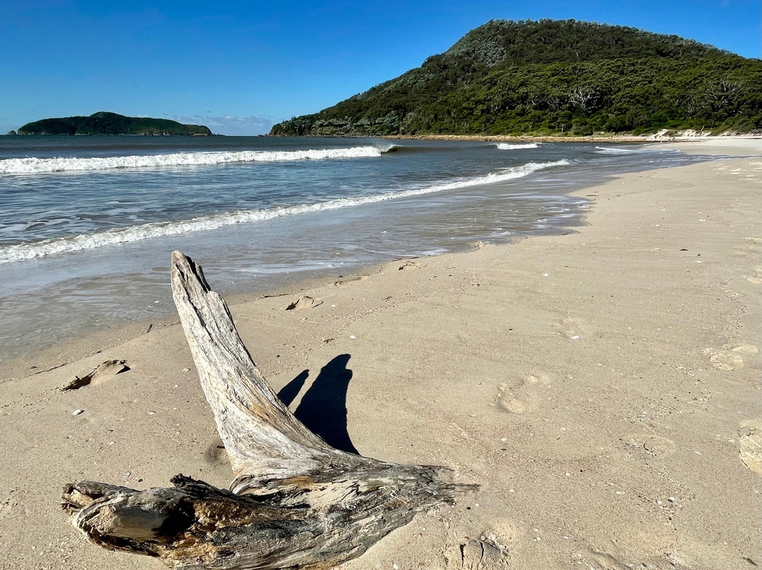
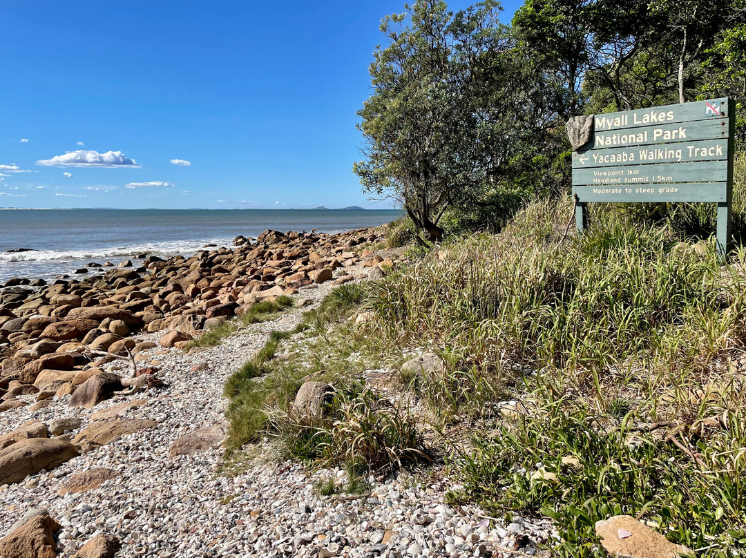
The trail starts at the far southern end of the main beach at Hawks Nest. To get there, we walked along the beach from the surf club (which involved significant legwork). A shorter option would have been to drive to Jimmy’s Beach Caravan Park, take the path down to Jimmys Beach and cut through the dunes. This brings you quite close to to Mt Yacaaba. A large green sign (see photo) marks the start of the sandy, dirt path that leads to the first lookout point.
MID-LEVEL POINT:
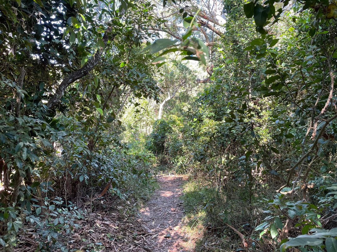
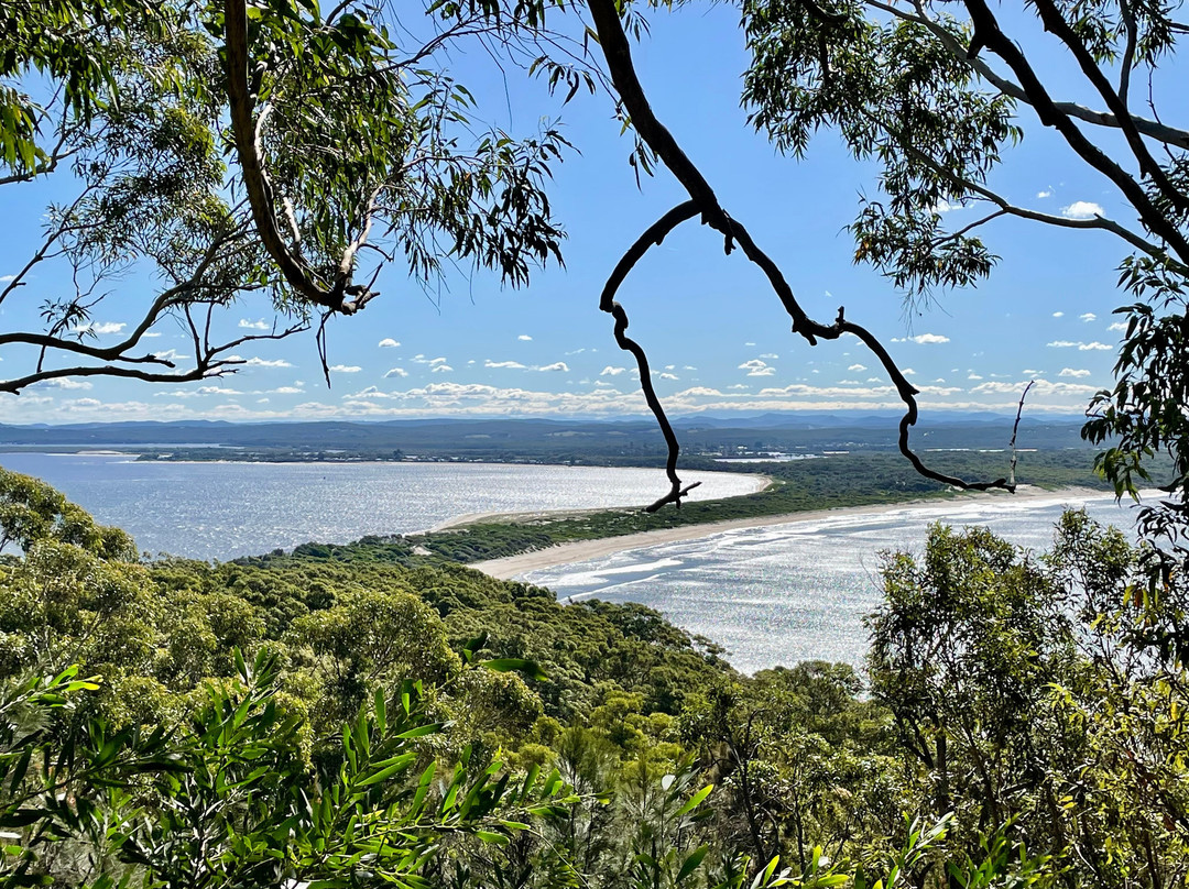
This first half of the walk is through dense, natural bushland and is relatively easy. When you reach the first lookout, you have a birds-eye view down over both Bennetts and Jimmys beaches. You could stop here, (especially if you have kids with you), but if you want to get the best views over Port Stephens and Shoal Bay as well, then you’ll need to continue on to the summit.
CONTINUING TO THE TOP:
The second half of the trail is a lot rougher and tougher going. A sign warns that the path is ‘unformed’. This is an understatement. It is rocky and involves some scrambling. Occasionally I needed to use my hands to make my way up. The odd tree root can trip you up but fortunately the rocks are mostly large and well embedded, and not loose or likely to fall. The dirt paths are also mostly well-compacted and not generally slippery or gravelly. I found descending was trickier than going up because I had to keep my eyes on my feet to avoid tripping or twisting an ankle.
AVOIDING A WRONG TURN:
Most importantly make sure to keep your eye out for a point where the path curves up to the left. It’s easy to miss this and take the wrong path, like we did. We weren’t the only ones either. We met another couple at the top who’d just done the same thing. If you do end up going the wrong way, you’ll realise quite quickly because the path becomes harder and harder to distinguish and eventually it just peters out until you are left bushbashing. Unfortunately there’s no real marker to keep you on the right track. Later, I looked for anything that might be distinctive but there was nothing so you just have to watch for the point where it veers uphill and to the left.
THE SUMMIT:
It is worth noting that when you reach the summit, don’t stop at the very first view of Shoal Bay. A flat trail, about 100 metres long, leads to a second much better lookout. From here you can see John Gould Island, Shoal Bay and Tomaree Point as well as both Jimmys and Bennetts Beaches. It’s a wide view but growth is pretty dense at the top so you don’t have a completely panoramic outlook. I’d imagined a 360 degree, but its definitely not that.
PLANNING AHEAD:
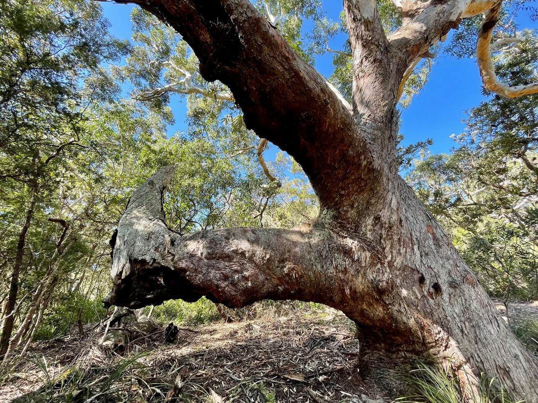
The walk is about 1.5 km one way. Allow somewhere between 2 - 3 hours. We took about 2 1/2 hours but we weren’t rushing. Overall, the trail is shady and is protected by tall trees and dense bushland but a hat and sunscreen is still helpful. Take plenty of water as there is nowhere to re-fill a bottle.
翻译:Yacaaba Headland 是一条短而具有挑战性的步道,在山顶可以欣赏到绝佳的景色。它一开始是一段中等陡峭的上坡步道,但随着您接近山顶,步道变得越来越陡峭和崎岖。
起点:
步道始于 Hawks Nest 主海滩的最南端。为了到达那里,我们从冲浪俱乐部沿着海滩步行(这需要大量的腿部工作)。更短的选择是开车到 Jimmy’s Beach Caravan Park,沿着小路下到 Jimmys Beach,然后穿过沙丘。这样您就可以非常接近 Yacaaba 山。一个巨大的绿色标志(见图)标志着通往第一个观景台的沙土路的起点。
中点:
步道的前半部分穿过茂密的天然丛林,相对容易。当您到达第一个观景台时,您可以鸟瞰 Bennetts 和 Jimmys 海滩。您可以在这里停下来(特别是如果您带着孩子的话),但如果您还想欣赏史蒂芬港和浅滩湾的最佳景色,那么您需要继续前往山顶。
继续前往山顶:
后半段路况更差,更难走。一个标志警告说这条路“未成形”。这是轻描淡写。它很崎岖,需要攀爬。有时我需要用手才能爬上去。奇怪的树根可能会绊倒您,但幸运的是,岩石大多很大,嵌入得很好,不会松动或掉落。泥土路也大多压实得很好,通常不滑或有碎石。我发现下山比上山更棘手,因为我必须注意脚下,以免绊倒或扭伤脚踝。
避免走错路:
最重要的是,一定要留意小路向左弯曲的地方。很容易错过这个,走错路,就像我们一样。我们并不是唯一一个。我们在山顶遇到了另一对夫妇,他们也做了同样的事情。如果你最终走错了路,你很快就会意识到,因为这条路越来越难辨别,最终它会逐渐消失,直到你只能在丛林中穿行。不幸的是,没有真正的标记来让你走在正确的轨道上。后来,我寻找任何可能与众不同的东西,但什么也没有,所以你只需要注意它向上坡向左拐的那个点。
山顶:
值得注意的是,当你到达山顶时,不要在看到浅滩湾的第一眼就停下来。一条大约 100 米长的平坦小路通向第二个更好的观景台。从这里你可以看到约翰古尔德岛、浅滩湾和托马里角以及吉米斯和贝内特斯海滩。视野很开阔,但顶部的植物非常茂密,所以你看不到全景。我曾想象过 360 度的视野,但绝对不是。
提前计划:
单程步行约 1.5 公里。大约需要 2 - 3 小时。我们花了大约 2 1/2 小时,但我们并不着急。总的来说,这条小路很阴凉,有高大的树木和茂密的灌木丛保护着,但戴上帽子和涂上防晒霜还是有用的。带上足够的水,因为没有地方可以重新装满一瓶水。




此点评仅代表旅行者个人的主观意见,并不代表TripAdvisor以及其合作方的意见。
关于我们
|
新闻动态
|
商务合作
|
会员中心
|
业主中心
|
业主通
|
常见问题
|
意见反馈
|
联系我们
|
营业执照
© 2026 Tripadvisor 版权所有。
使用条款 |隐私政策 |网站工作原理
部分照片由 VFM Leonardo 提供。
* Tripadvisor不是旅行社,也不是旅游预订服务代理商。我们提供免费、客观、公正的旅游资讯服务。 (显示更多)
TripAdvisor LLC 既不是预订代理商,也不是旅游运营商,不会向网站用户收取任何服务费。 按照规定,在 Tripadvisor 发布机票价格、游览和旅行套餐的合作伙伴(航空公司、旅行提供商及预订代理商),其标价须包含所有费用和附加费用。 例如, 机场出入境税费、消费税与其他服务费、手续费、杂费及附加费用。 当您向我们的某个合作伙伴进行预订时,请务必查阅他们的网站以了解当地行政部门要求的所有适用费用的具体情况。 除非另有说明,机票价格通常指的是一个人的价格(以人民币计)。
为方便起见,TripAdvisor LLC 根据从我们的预订合作伙伴获取的空房率计算每个酒店的均价。 对于游览和景点来说,所显示价格通常是每位成人的最低可用价格。 对于列出的任何旅行套餐或优惠,TripAdvisor LLC 无法保证任何特定的费率或价格。 此外,酒店均价每晚会更新,并以您的首选币种表示(使用现行汇率)。 由于这些已换算的价格是预估价格,因此,有关具体金额和币种请与预订网站进行核实。
此外,TripAdvisor LLC 无法保证我们网站上宣传的价格随时有效。 标价可能需要预订一定天数才能生效,或有不可用日期、使用条件或限制。
TripAdvisor公司对外部网站的内容一概不负责。优惠价格中不含税和其他费用。
ICP证:沪B2-20200433
沪ICP备20013175号
 沪公网安备31010502005427号
鹰程信息技术(上海)有限公司
货币/国家及地区
¥CNY
中国

