的点评
Very beautiful cycling trail with beautiful villages en route; a must for railway history enthusiasts
Ciclovia Alpe-adria Radweg的点评
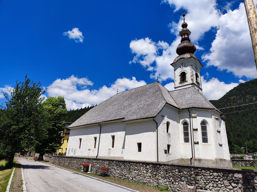
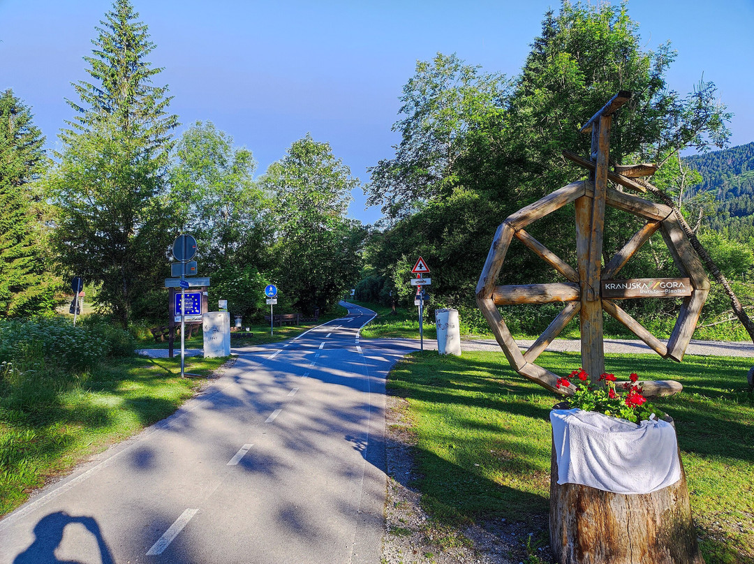
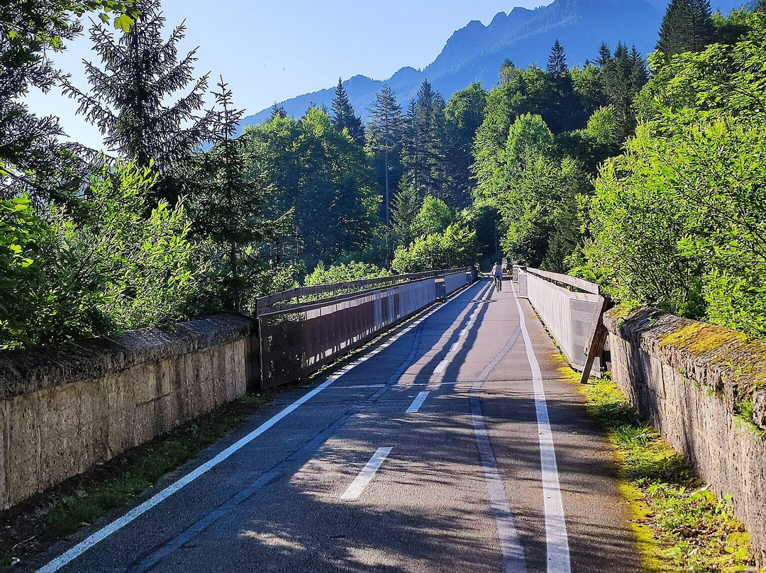
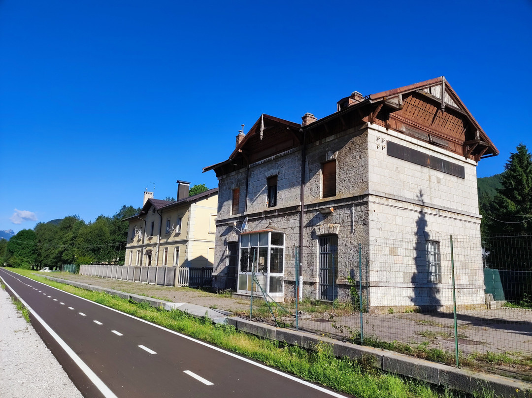
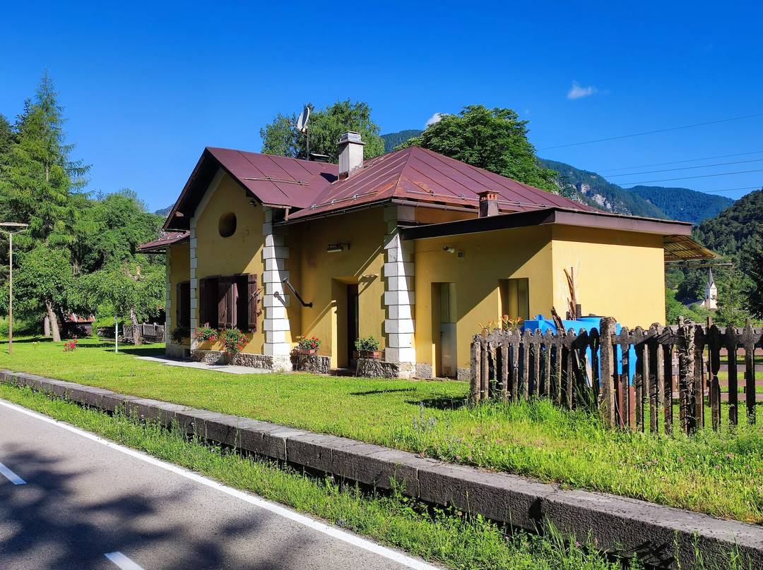
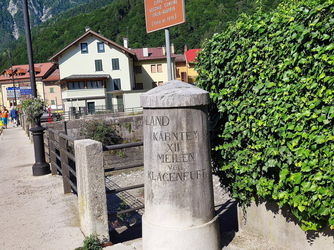
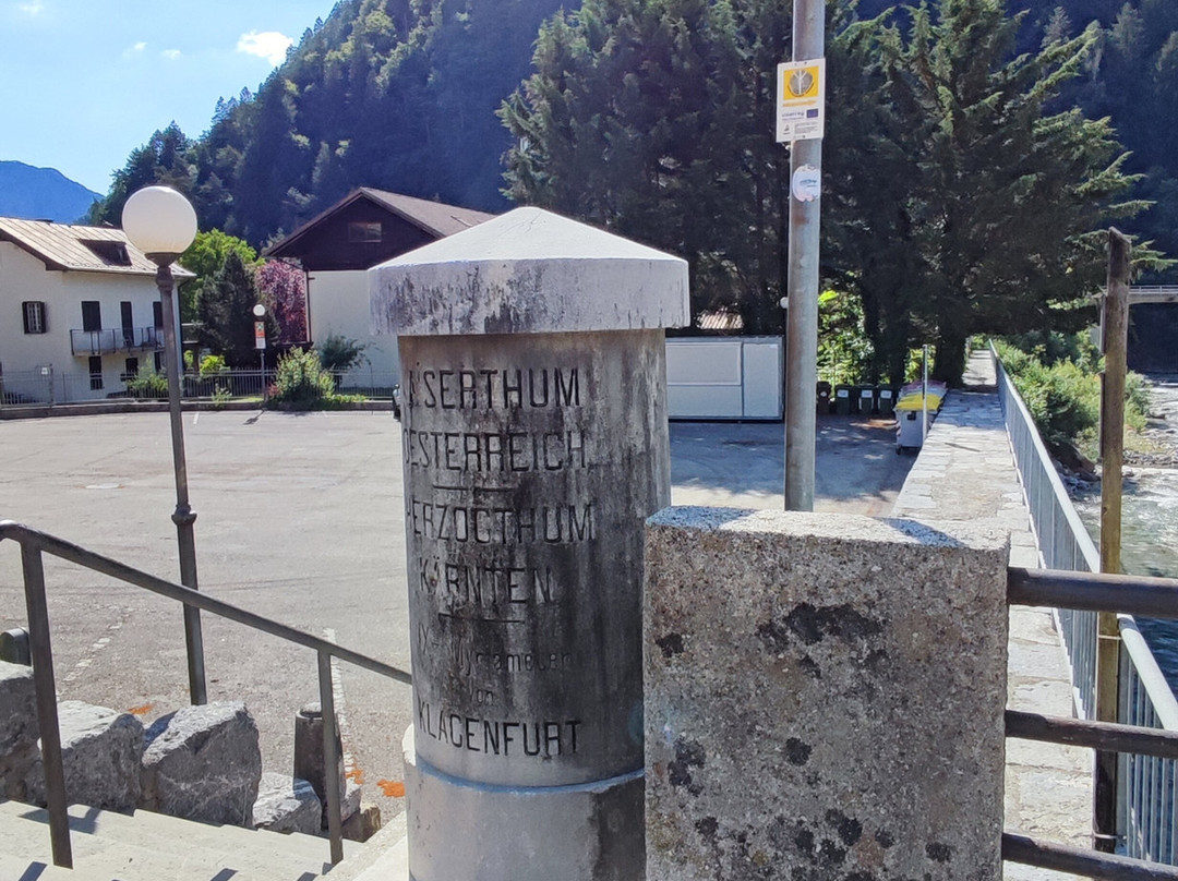
点评:While “Ciclovia Alpe Adria” is a long distance connection between Salzburg and Grado, so far I can only comment on the Tarvisio - Pontebba section as well as the side branch between Rateče and Tarvisio. And yes, these two sections are simply fantastic (with a few exceptions; something oh so typical for Italy) routed via the Valcanale valley, perhaps even the most beautiful area of Italy and spared well enough from mass tourism. Ironically, all until late 1918 (end of WW1), the area hadn’t been Italian at all. The easternmost part between the present day state border with Slovenia and the Beli potok/Rio Bianco creek was part of Austrian and predominantly Slovenian populated province of Carniola, while the remainder all until Pontebba, where boundary stones have been preserved to this day, was part of another Austrian province of Carinthia with mixed German and Slovenian speaking population. Great majority of the completely asphalted trail also faithfully follows former railway courses, with plenty of former stations and other infrastructure still preserved, inevitably making it an obvious “must do” for anyone interested in railway history. That automatically means that gradients are rather moderate to cyclists’ standards and most cyclists should be able to do it with ordinary road bikes without electrical help.
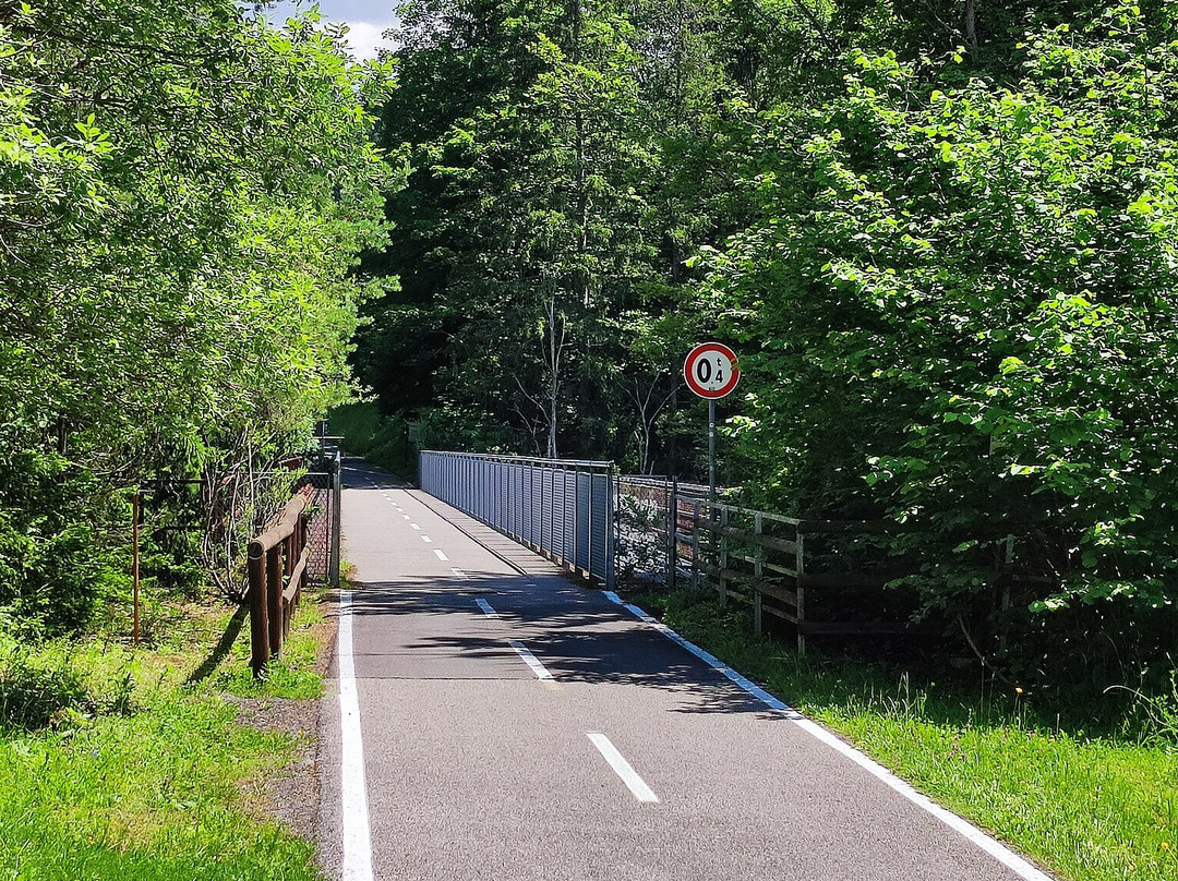
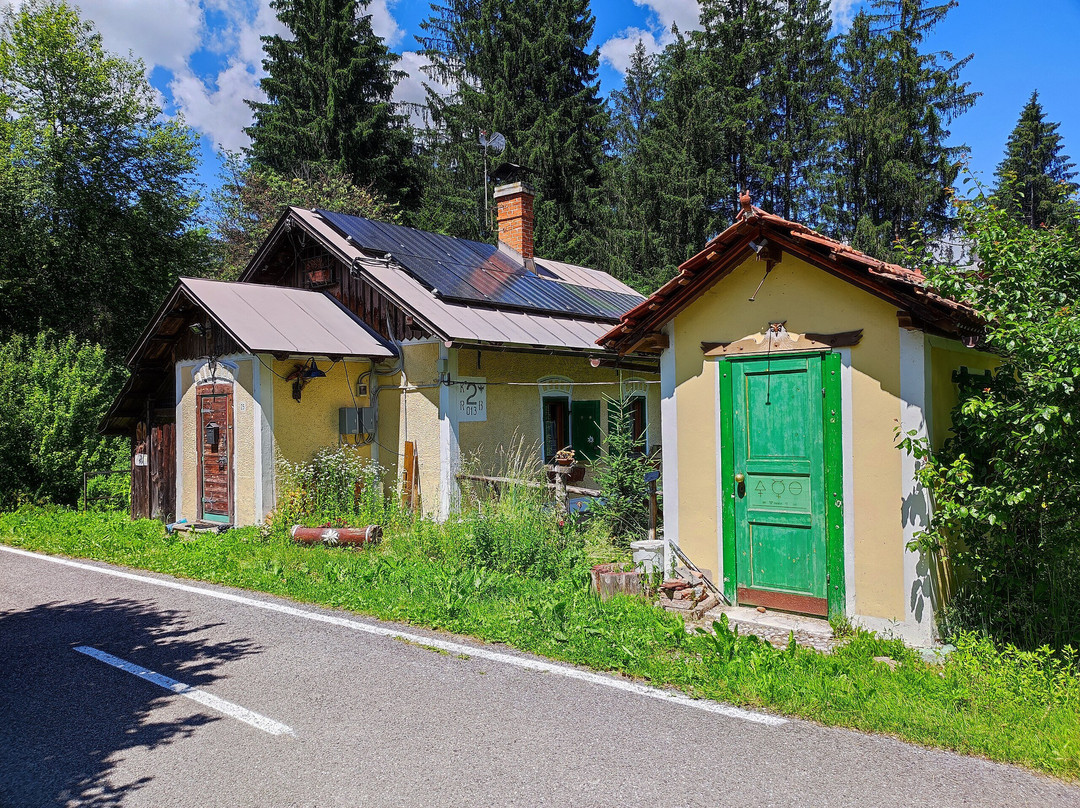
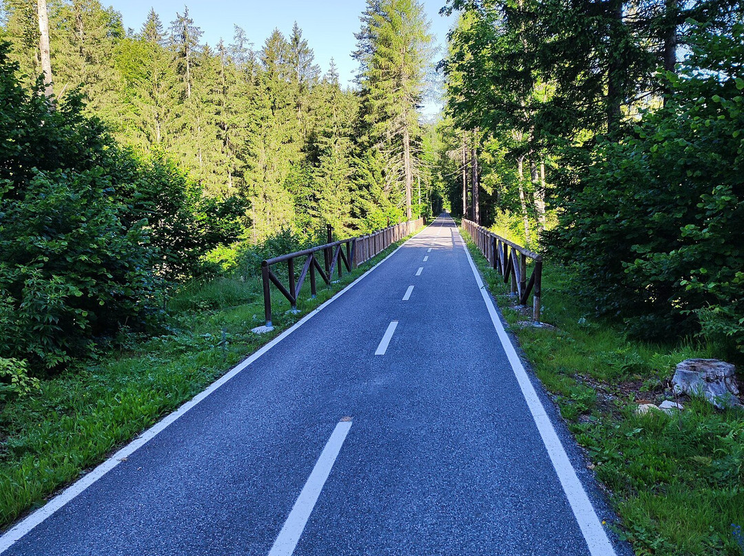
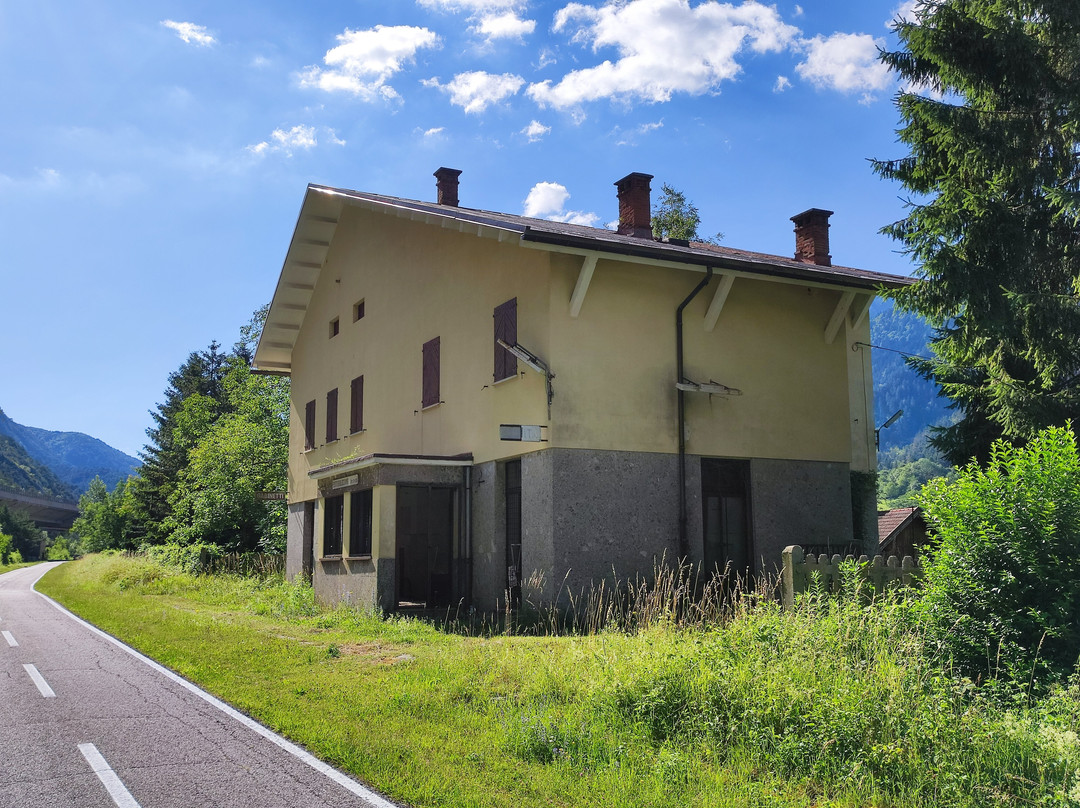
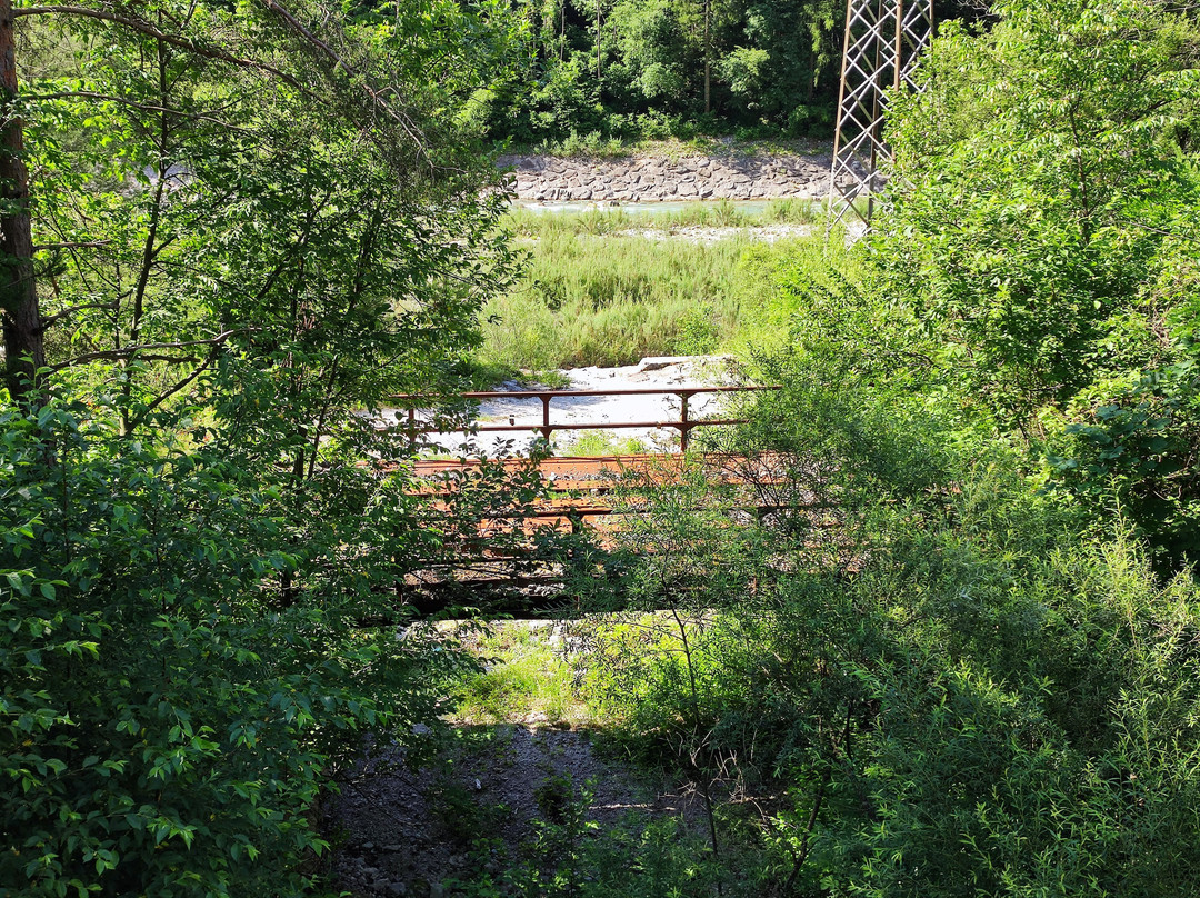
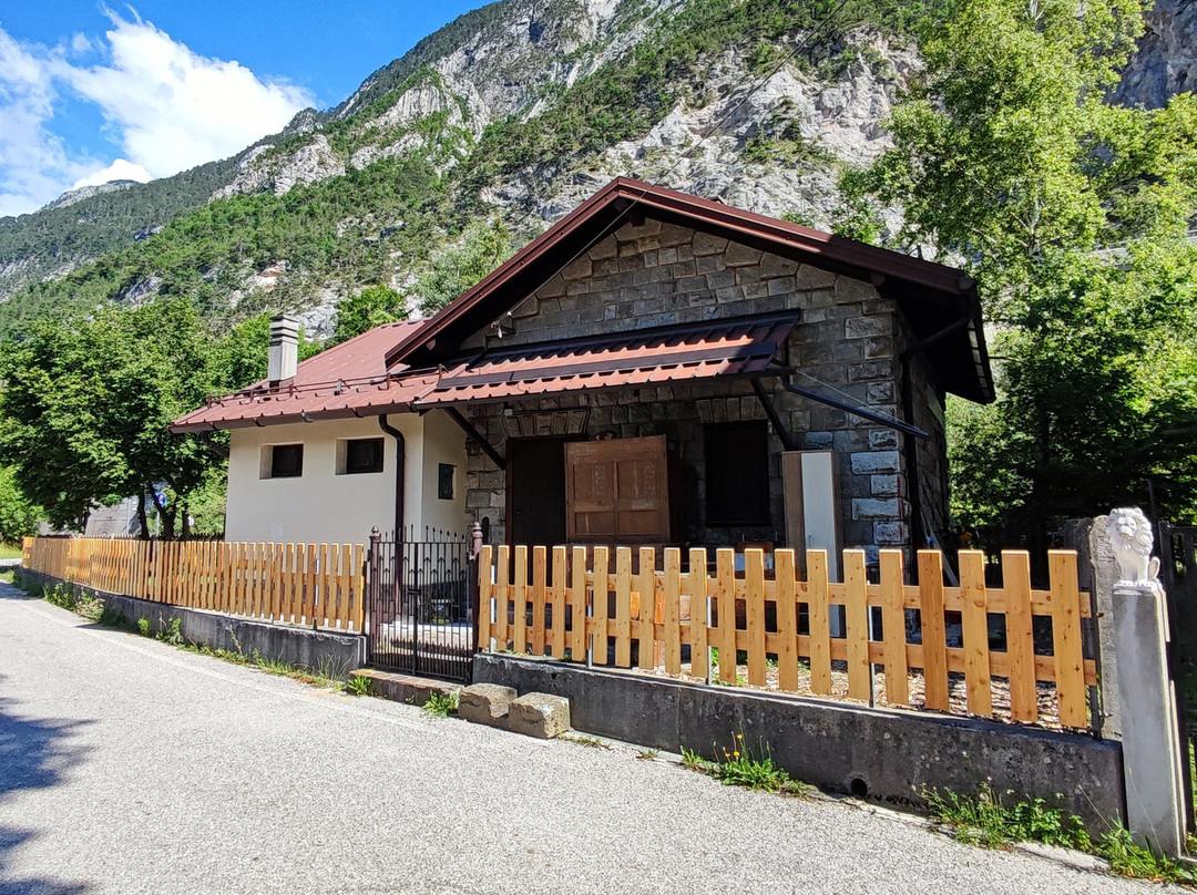
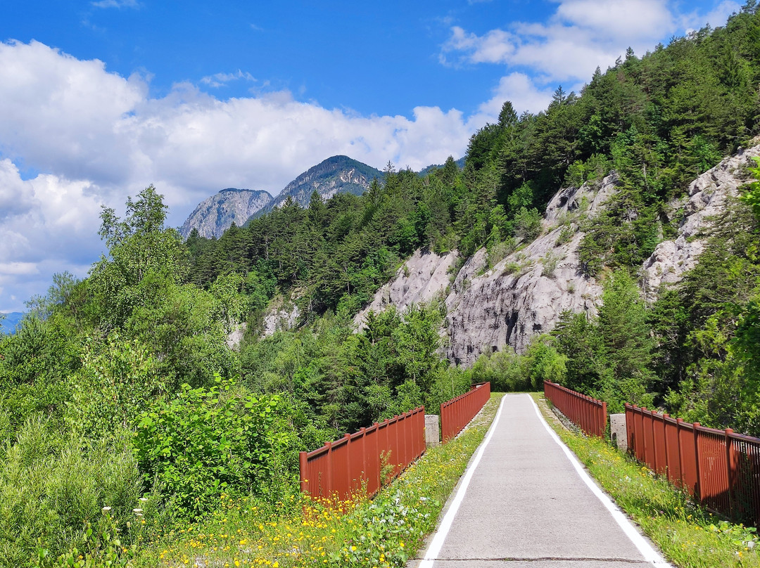
To start with the Rateče - Tarvisio side branch, approx. 10 kms long, actually an extension of the Slovenian cycling route from Jesenice (actually Mojstrana). All railway traffic between Tarvisio and the present day state border was completely suspended in 1965 and the tracks were removed in the 1980s. Except for one guard house 2 kms east of Tarvisio, no other stations have survived. Today the cycling trail faithfully follows the original railway route, it is routed away from settlements, mostly through forests, making it a pleasant ride even in summer heat. Two original bridges have also survived, a less significant one over Beli potok/Rio Bianco (the former provincial border between Austrian provinces of Carniola and Carinthia) and another one over the majestic Ziljica/Slizza gorge just before reaching Tarvisio’s former Centrale station. Even though spectacular, views of the gorge (known as Orrida dello Slizza in Italian) from the bridge are not even close compared to actually visiting the trail through the gorge, very conveniently reachable from the cycling trail. BTW, another highlight, Belopeška jezera/Laghi di Fusine may also be conveniently reached from the cycling trail a few kms further east. Caveat: typical cycling footwear will probably not be appropriate to visit either the gorge or the lakes :(.
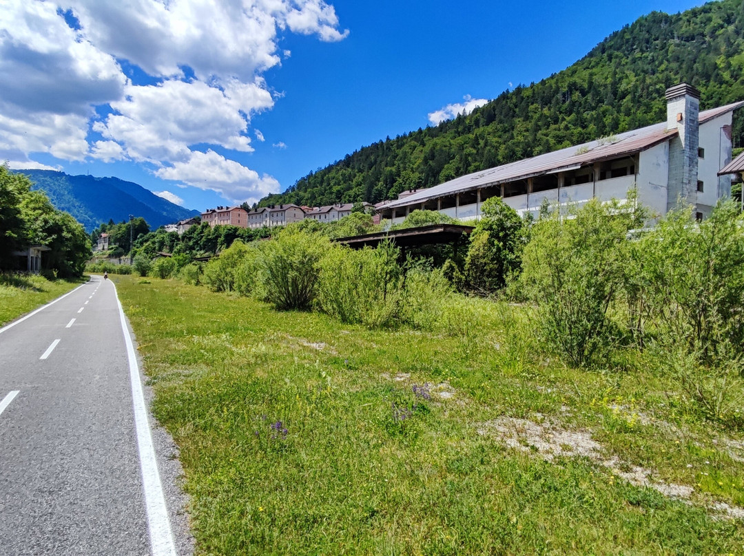
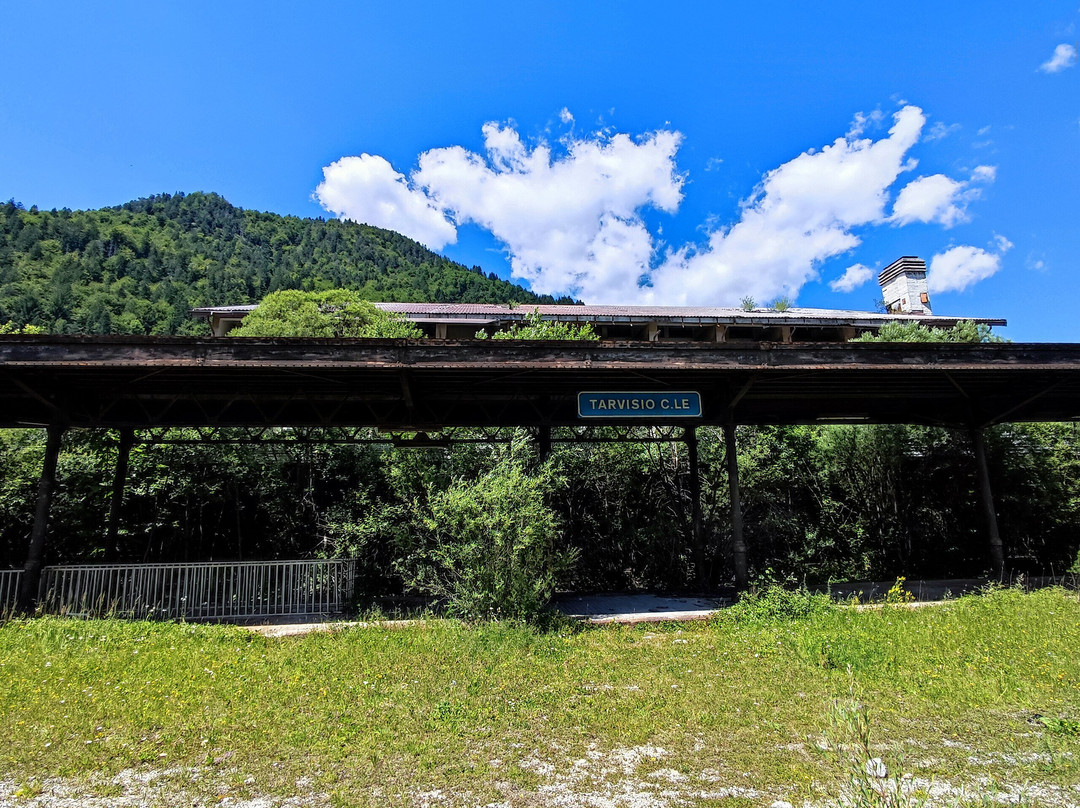
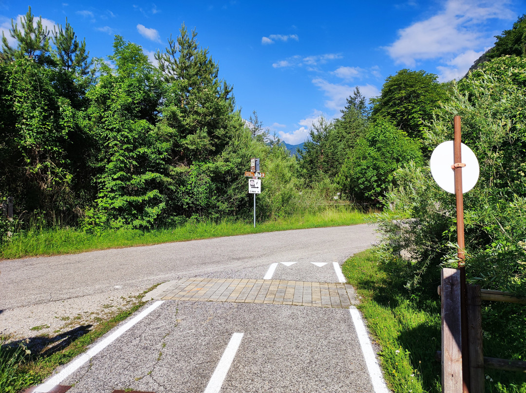
Right after the bridge over the Ziljica/Slizza, a major junction at the former Tarvisio Centrale station follows. Let’s finish with the section to Austria quickly. If turning right (northwards) at the junction, the trail passes completely abandoned and scary buildings of the former station, soon thereafter it also leaves the former railway course and joins a potholed road winding around the Cocau village. Needless to say, this is the worst section in the Tarvisio area, only intended for those who really must get to/from the Austrian border town of Podklošter/Arnoldstein.
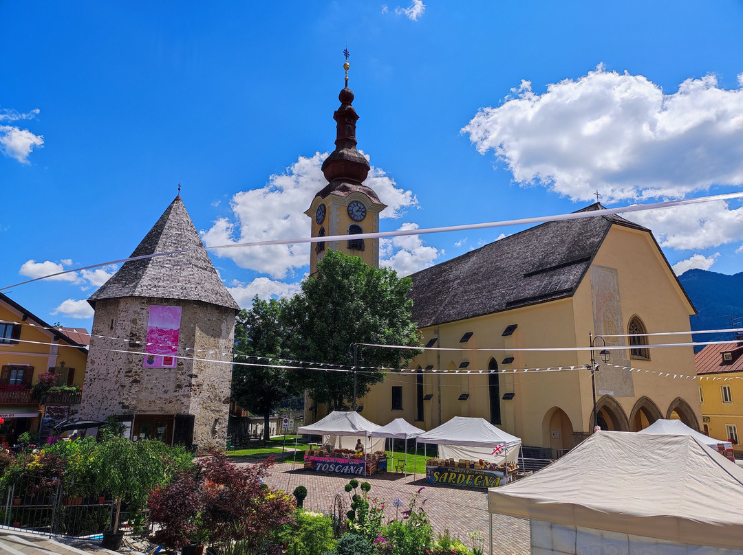
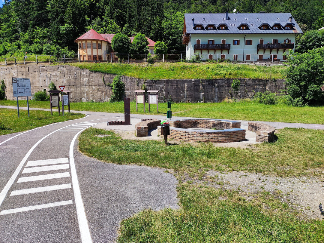
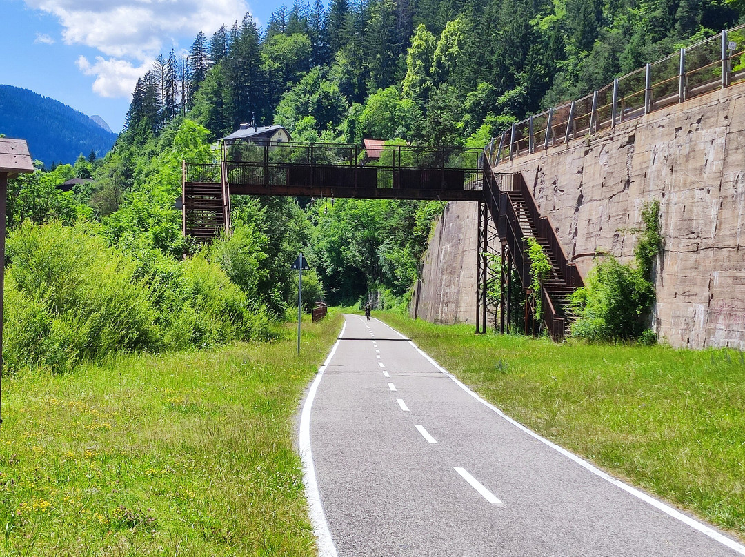
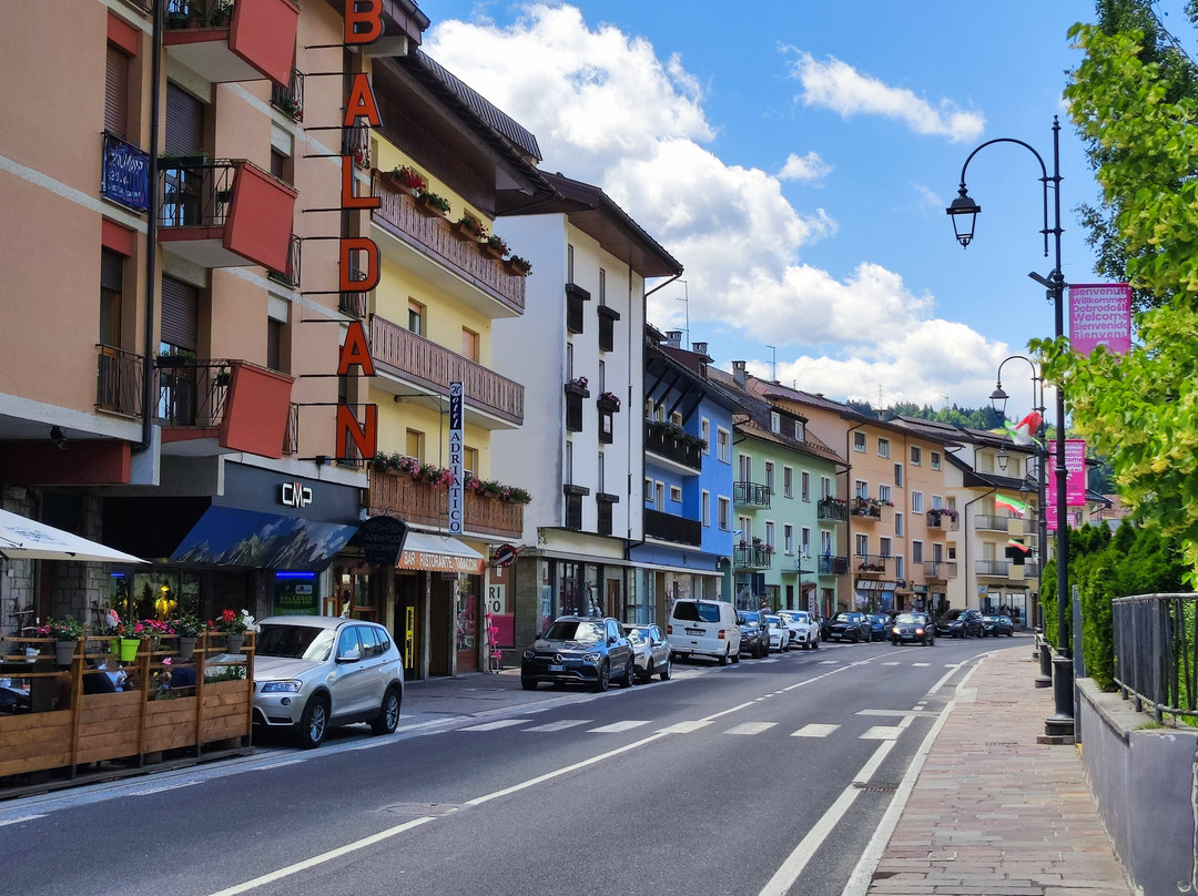
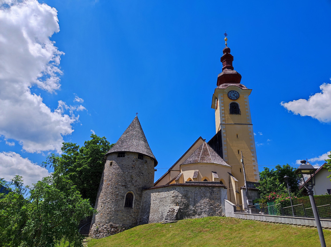
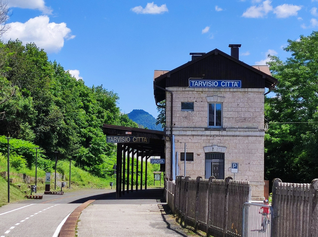
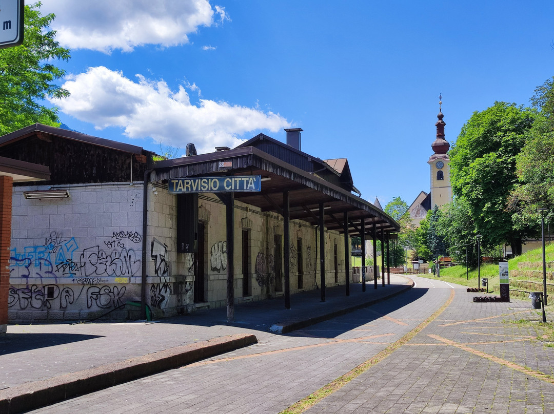
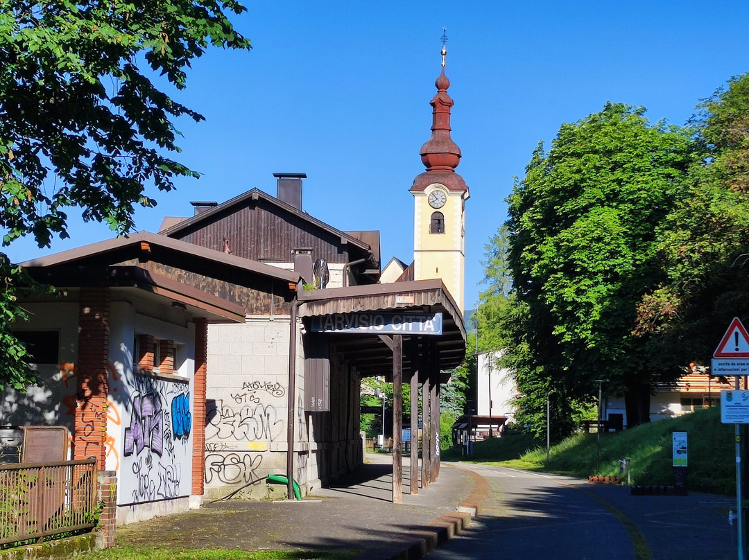
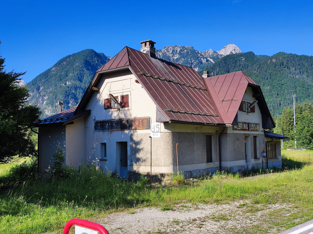
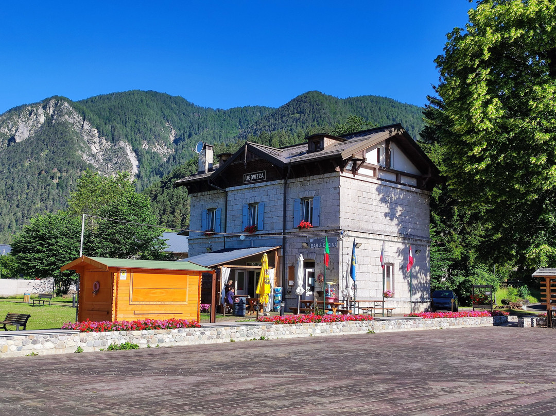
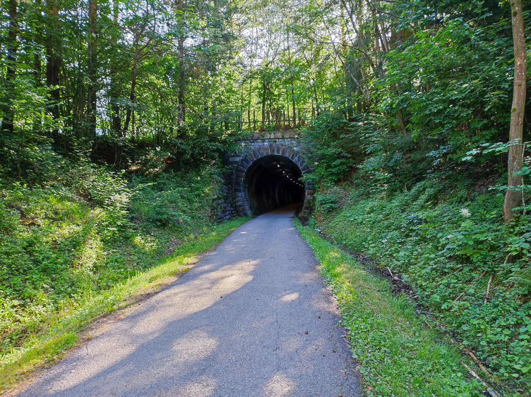
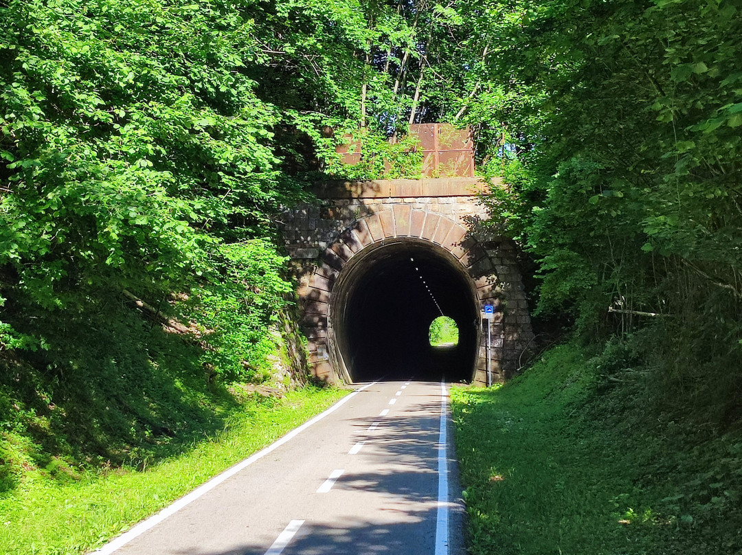
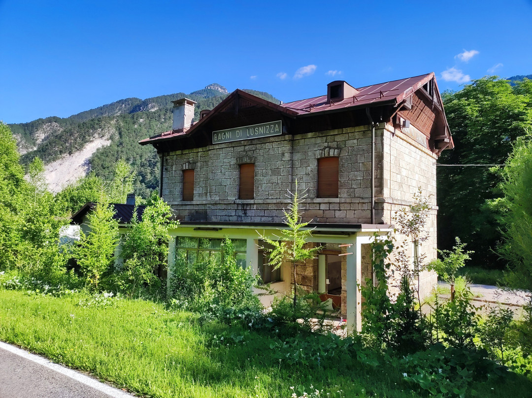
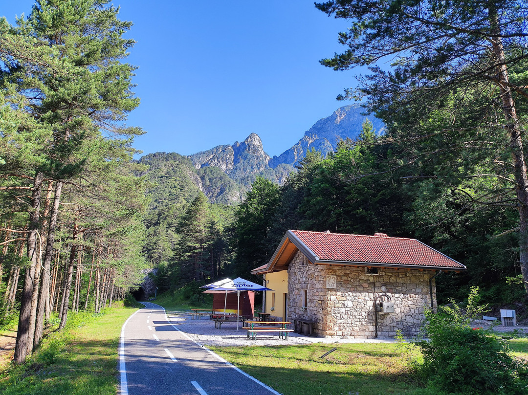
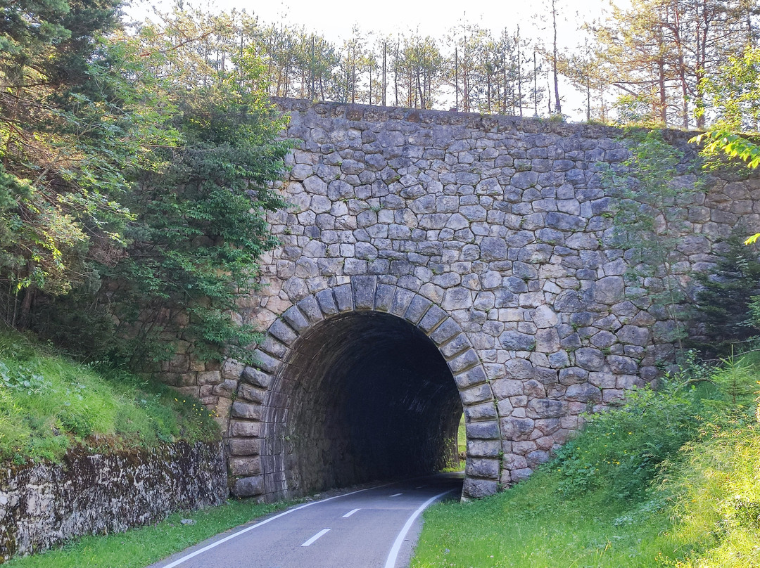
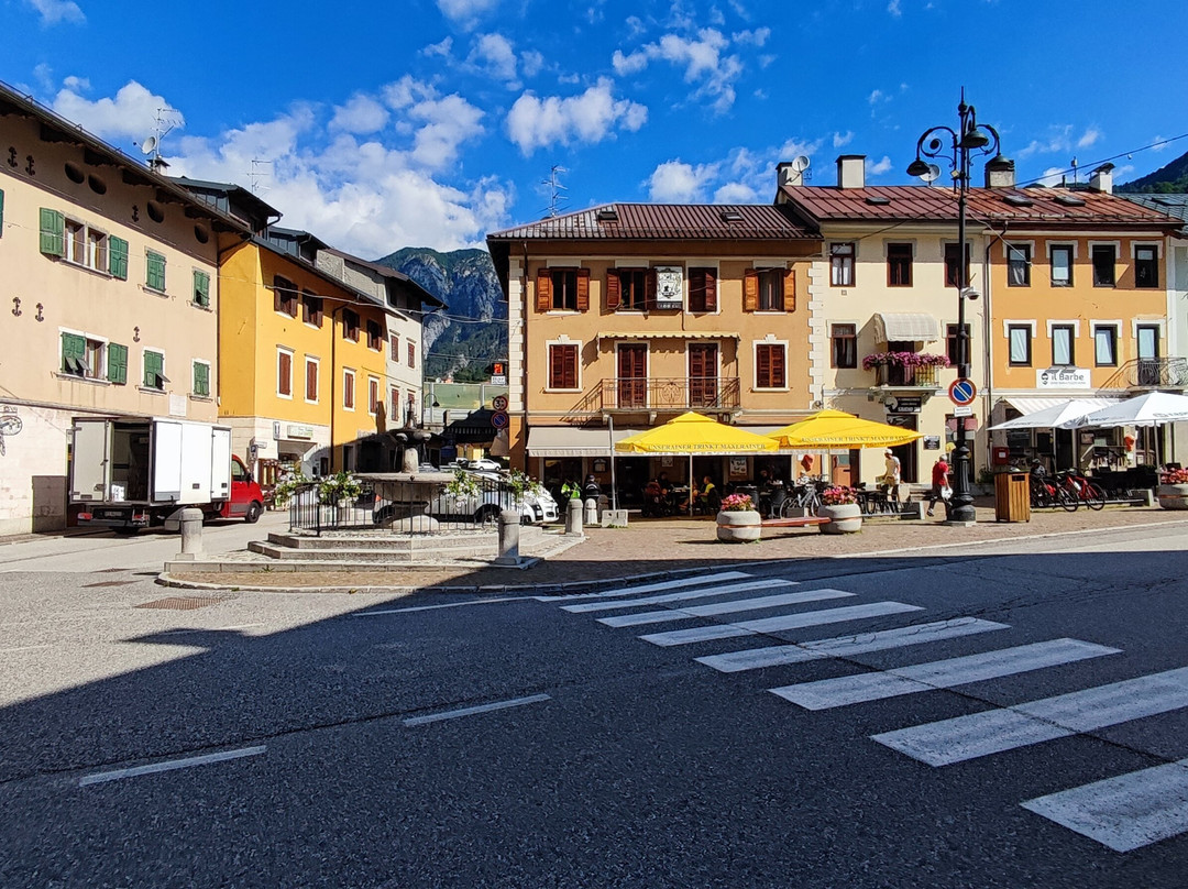
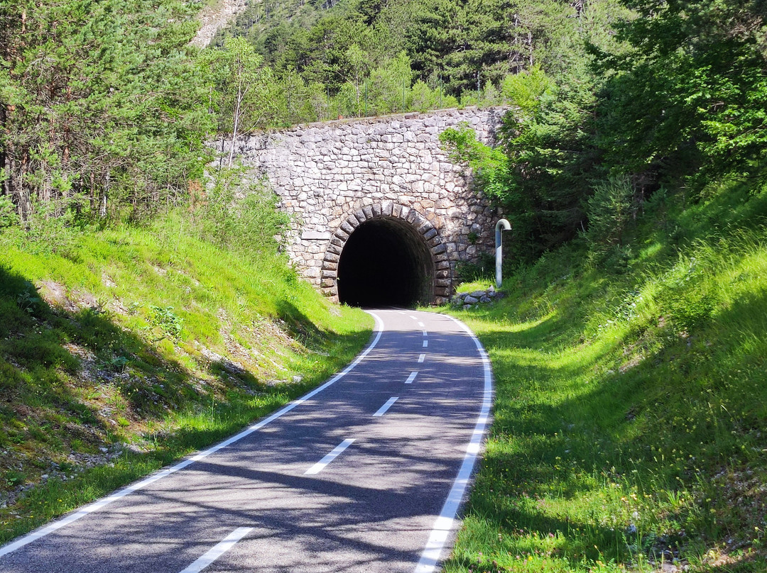
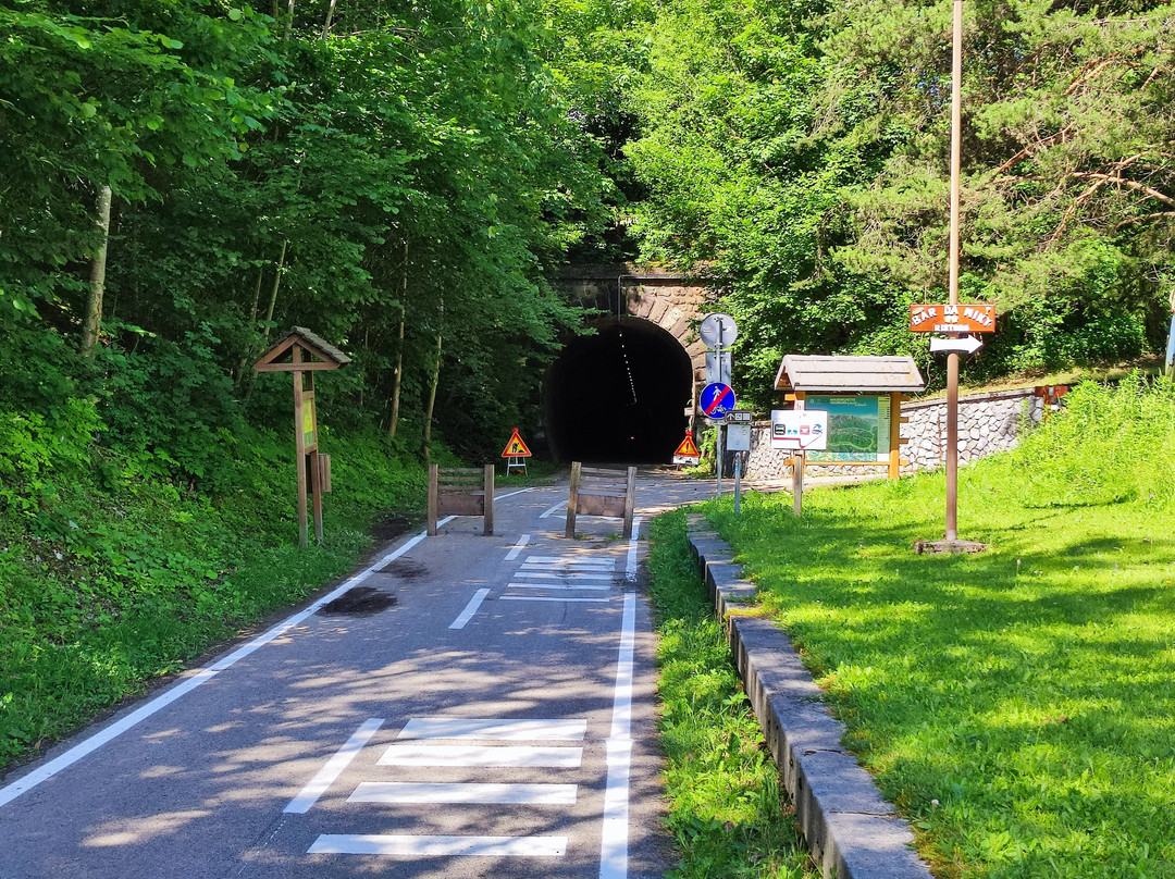
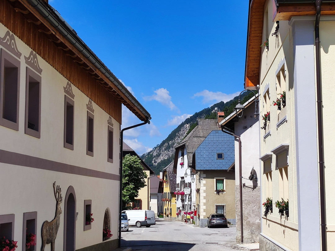
So, the better option is turning left and joining the course of the so-called Old Pontebbana railway towards Pontebba (approx. 30 kms from Tarvisio), Carnia and Udine, abandoned in 2000, when the parallel and mostly underground new Pontebbana was completed, still with tunnels, most stations and other objects preserved, some abandoned, some converted to private homes and some serving as bars or cycling inns. Initially the trail traverses a slope and separates lower and upper parts of Trbiž/Tarvisio. At the former small Tarvisio Città station it is worth dismounting and carrying the bike upstairs to the Pizza Unità in Tarvisio's chic downtown. Later the trail finally officially enters the Valcanale valley, beautifully situated between Julian Alps (more precisely, the Jôf di Montasio massif) in the south and the Carnic Alps in the north. The most stupid thing one could ever do here, would be madly racing the route and staring the tracker for “very important” stats instead of admiring the beautiful landscape. It’s also worth detouring the official cycling trail, usually at former stations with still preserved name signs, to admire beautiful and recently renovated villages, also very tranquil as typically being ignored by numerous stravtards, located a bit away from their stations. From east to west, these idyllic villages are Žabnice/Camporosso (BTW, still the most “Slovenian” village in the area), Ovčja vas/Valbruna, Ukve/Ugovizza and Naborjet/Malborghetto. A short section just west of Naborjet/Malborghetto i borrowed by a local road (worse quality of asphalt). past the former Laglesie San Leopoldo station, the cycling trail is all of sudden redirected to a not so good quality parallel road, although the abandoned former course is still well visible. The road takes you right to Tablja/Pontebba, with preserved boundary stones at the bridge indicating the pre 1918 state border between Austria and Italy. The town is well worth a short stop, otherwise it would be possible to cycle further to Carnia, where the Old Pontebbana effectively ends, if not even towards Udine and Grado…
翻译:虽然“Ciclovia Alpe Adria”是萨尔茨堡和格拉多之间的长距离连接,但到目前为止我只能评论塔尔维西奥 - 蓬泰巴路段以及拉特切和塔尔维西奥之间的支线。是的,这两个路段非常棒(除了少数例外;这是意大利的典型特征),途经瓦尔卡纳莱山谷,这可能是意大利最美丽的地区,而且没有受到大众旅游的侵袭。讽刺的是,直到 1918 年底(第一次世界大战结束),该地区根本不是意大利的。现在与斯洛文尼亚的国家边界与 Beli potok/Rio Bianco 小溪之间的最东边是奥地利和斯洛文尼亚人聚居的卡尼奥拉省的一部分,而其余直到蓬泰巴的部分,界石至今仍保存完好,是奥地利另一个省份卡林西亚的一部分,该省的居民混居德语和斯洛文尼亚语。大部分完全铺有沥青的道路也忠实地遵循了以前的铁路路线,许多以前的车站和其他基础设施仍然保留着,这无疑使其成为对铁路历史感兴趣的人的“必游之地”。这自然意味着坡度对骑行者的标准来说相当适中,大多数骑行者应该能够使用普通公路自行车在没有电力帮助的情况下完成骑行。
首先是 Rateče - Tarvisio 支线,长约 10 公里,实际上是从 Jesenice(实际上是 Mojstrana)延伸的斯洛文尼亚自行车路线。1965 年,Tarvisio 和现在的国家边界之间的所有铁路交通完全中断,轨道在 1980 年代被拆除。除了 Tarvisio 以东 2 公里处的一座警卫室外,没有其他车站幸存下来。如今,自行车道忠实地遵循原始铁路路线,远离定居点,大部分穿过森林,即使在夏季炎热的天气下也能享受愉快的骑行。两座原始桥梁也保存了下来,其中一座不太重要,横跨 Beli potok/Rio Bianco(奥地利卡尼奥拉省和卡林西亚省之间的前省界),另一座横跨雄伟的 Ziljica/Slizza 峡谷,就在到达 Tarvisio 的前中央火车站之前。尽管峡谷(意大利语中称为 Orrida dello Slizza)的景色十分壮观,但从桥上欣赏峡谷的景色与实际游览峡谷小径相比还是相去甚远,从自行车道可以非常方便地到达。顺便说一句,另一个亮点是 Belopeška jezera/Laghi di Fusine,也可以从几公里外的东边的自行车道方便地到达。警告:典型的骑行鞋可能不适合游览峡谷或湖泊 :(。
过了 Ziljica/Slizza 桥后,紧接着就是前 Tarvisio Centrale 车站的主要交叉口。让我们快速结束前往奥地利的路段。如果在交叉口右转(向北),这条小路会经过前车站完全废弃且可怕的建筑物,不久之后,它也会离开前铁路,加入一条蜿蜒在 Cocau 村庄周围的坑坑洼洼的道路。不用说,这是 Tarvisio 地区最糟糕的路段,只适合那些真正必须往返奥地利边境小镇 Podklošter/Arnoldstein 的人。
因此,更好的选择是左转,加入所谓的旧 Pontebbana 铁路,前往 Pontebba(距离 Tarvisio 约 30 公里)、Carnia 和 Udine,这些铁路于 2000 年被废弃,当时平行且大部分位于地下的新 Pontebbana 建成,仍然有隧道、大多数车站和其他保存完好的设施,有些被废弃,有些被改建成私人住宅,有些被用作酒吧或自行车旅馆。最初,这条小路穿过一个斜坡,将 Trbiž/Tarvisio 的下半部分和上半部分分隔开来。在以前的小 Tarvisio Città 站,值得下车并将自行车抬到楼上,送到 Tarvisio 时尚市中心的 Pizza Unità 餐厅。后来,这条小路终于正式进入了 Valcanale 山谷,它位于南部的朱利安阿尔卑斯山(更准确地说,是 Jôf di Montasio 地块)和北部的卡尔尼克阿尔卑斯山之间,风景优美。在这里最愚蠢的事情就是疯狂地沿着路线赛跑,盯着追踪器寻找“非常重要”的数据,而不是欣赏美丽的风景。还值得绕行官方的自行车道,通常在仍保留着名称标志的旧车站,欣赏美丽且最近经过整修的村庄,这些村庄也非常安静,因为通常被许多流浪汉忽略,距离车站稍远。从东到西,这些田园诗般的村庄是Žabnice/Camporosso(顺便说一句,仍然是该地区最“斯洛文尼亚”的村庄)、Ovčja vas/Valbruna、Ukve/Ugovizza 和 Naborjet/Malborghetto。Naborjet/Malborghetto 西边的一小段路我借用了一条当地公路(沥青质量较差)。经过前 Laglesie San Leopoldo 车站后,自行车道突然被重定向到一条质量不太好的平行道路,尽管废弃的旧路仍然清晰可见。这条路可以直达 Tablja/Pontebba,桥上保留的界石标志着 1918 年前奥地利和意大利的国界。这个小镇值得短暂停留,否则可以继续骑行到 Carnia,那里实际上是老 Pontebbana 的尽头,甚至还可以骑车前往 Udine 和 Grado……




此点评仅代表旅行者个人的主观意见,并不代表TripAdvisor以及其合作方的意见。
关于我们
|
新闻动态
|
商务合作
|
会员中心
|
业主中心
|
业主通
|
常见问题
|
意见反馈
|
联系我们
|
营业执照
© 2025 Tripadvisor 版权所有。
使用条款 |隐私政策 |网站工作原理
部分照片由 VFM Leonardo 提供。
* Tripadvisor不是旅行社,也不是旅游预订服务代理商。我们提供免费、客观、公正的旅游资讯服务。 (显示更多)
TripAdvisor LLC 既不是预订代理商,也不是旅游运营商,不会向网站用户收取任何服务费。 按照规定,在 Tripadvisor 发布机票价格、游览和旅行套餐的合作伙伴(航空公司、旅行提供商及预订代理商),其标价须包含所有费用和附加费用。 例如, 机场出入境税费、消费税与其他服务费、手续费、杂费及附加费用。 当您向我们的某个合作伙伴进行预订时,请务必查阅他们的网站以了解当地行政部门要求的所有适用费用的具体情况。 除非另有说明,机票价格通常指的是一个人的价格(以人民币计)。
为方便起见,TripAdvisor LLC 根据从我们的预订合作伙伴获取的空房率计算每个酒店的均价。 对于游览和景点来说,所显示价格通常是每位成人的最低可用价格。 对于列出的任何旅行套餐或优惠,TripAdvisor LLC 无法保证任何特定的费率或价格。 此外,酒店均价每晚会更新,并以您的首选币种表示(使用现行汇率)。 由于这些已换算的价格是预估价格,因此,有关具体金额和币种请与预订网站进行核实。
此外,TripAdvisor LLC 无法保证我们网站上宣传的价格随时有效。 标价可能需要预订一定天数才能生效,或有不可用日期、使用条件或限制。
TripAdvisor公司对外部网站的内容一概不负责。优惠价格中不含税和其他费用。
ICP证:沪B2-20200433
沪ICP备20013175号
 沪公网安备31010502005427号
鹰程信息技术(上海)有限公司
货币/国家及地区
¥CNY
中国

